Browsed by
Tag: vector geometry

Handling invalid geometries
Handling invalid geometries

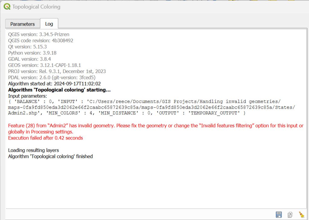
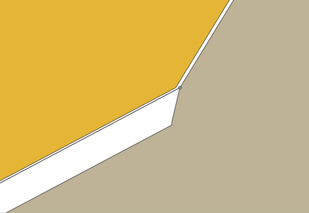
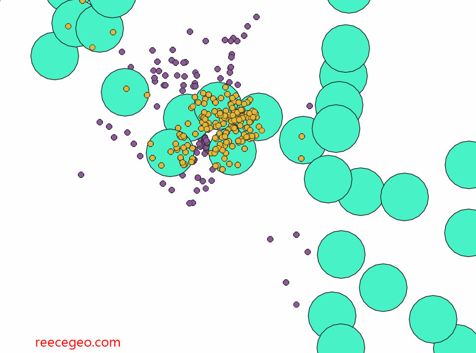
Following a tutorial, I fixed a geometry error in a state boundary layer. While attempting to run the ‘topological coloring’ algorithm, I encountered an error. I ran vector geometry>check validity to find the root cause. There was a ring self-intersection, which happens when a geometry touches itself and generates a ring. I used the vertex tool to edit the layer and fixed the geometry.

Handling Invalid Geometries (QGIS3) — QGIS Tutorials and Tips
Basic GIS Operations 1

Basic GIS Operations 1

The following are screenshots from four tutorials I followed. Link and description are in each caption.

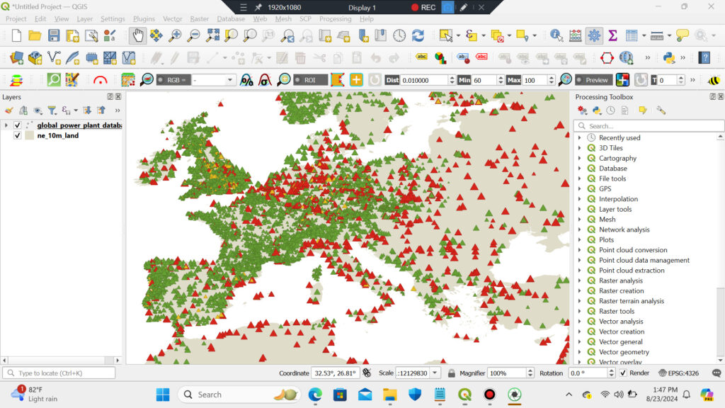
Basic Vector Styling (QGIS3) — QGIS Tutorials and Tips – I took a CSV file containing the location of all power plants in the World and created a visualization showing distribution of renewable and non-renewable fuels used in these power plants.
Calculating Line Lengths and Statistics (QGIS3) — QGIS Tutorials and Tips – Given a polyline layer of railroads in North America, I determined the total length of railroads in the United States.
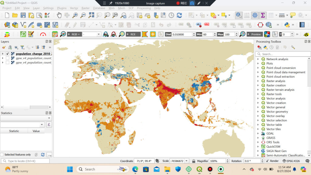
Basic Raster Styling and Analysis (QGIS3) — QGIS Tutorials and Tips – I used population grid data to create a thematic map of the global population change between year 2000 and 2010.
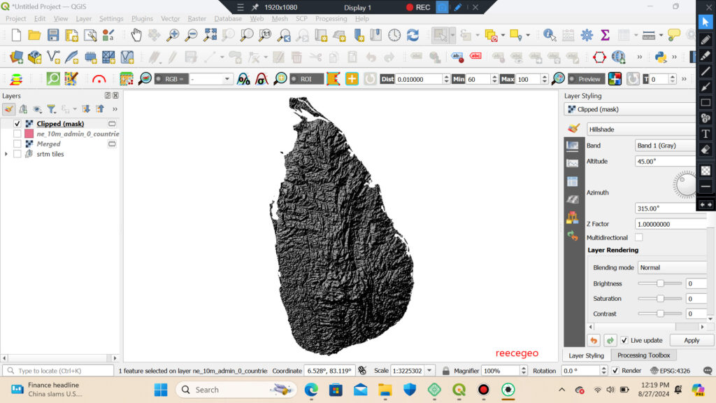
Raster Mosaicing and Clipping (QGIS3) — QGIS Tutorials and Tips – I downloaded elevation data for Sri Lanka in form of SRTM tiles, merged them and clipped the resulting mosaic to the country boundary.