Agroforestry Design Project in Berea, Kentucky


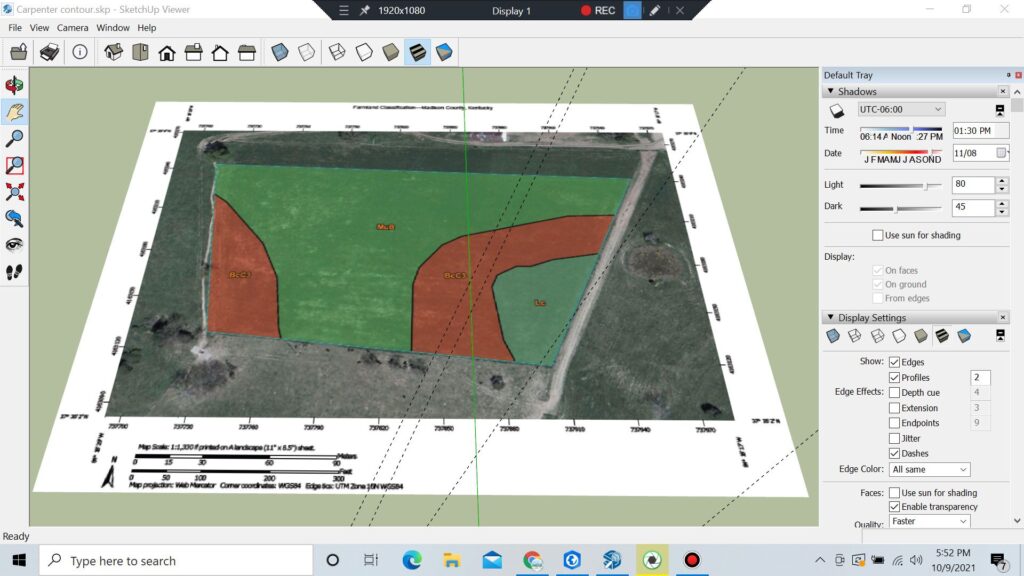
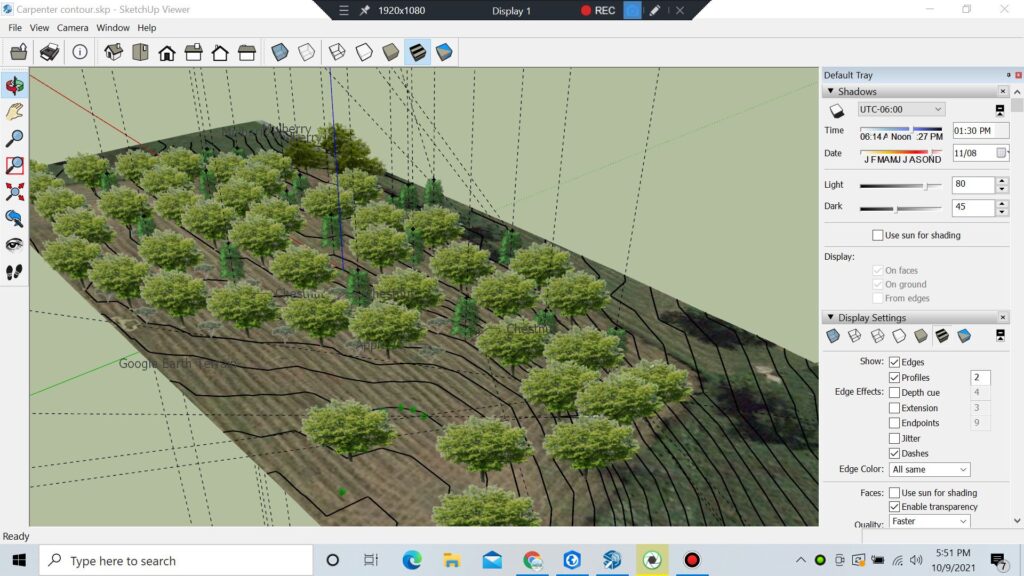
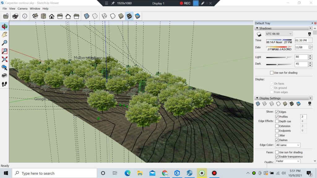
Description: This is work done under Matt Wilson, the then-sustainable agriculture person at the Berea College farm. The project was to create a perennial polyculture system for livestock on 1 acre of Berea College farmland. These screenshots from Sketchup show contours I was able to create using elevation data I had obtained from Google Earth. The idea for the design was chestnut, apple, mulberry and swamp oak planted on contour. The species were selected based partly on USGS soil data, which is shown.
