Fastest route analysis using QGIS and Google maps
Since I am preparing to move again, I need to start getting rid of the stuff that I’m not going to take. One of the main things is the clothing that I’ve accumulated over the last year. I will take it to the second-hand shops and see if I can sell it. I expect that I will need to visit multiple shops in order to get rid of all of it. My objective is to find the shortest route to hit the nearest several 2hand shops.
I opened Google Earth Pro. I typed ‘Thai Nguyen’ to navigate to my city. I then typed ‘2hand’, which is the local name for second-hand clothing stores. The results appeared on the map. I clicked the ‘copy to clipboard as kml’ button, and pasted onto a blank notepad, saving that as 2hand.kml.
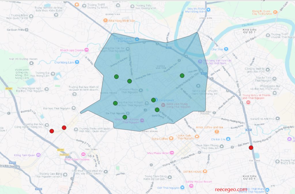
I opened a new project in QGIS and added the 2hand.kml layer. The points appeared on the canvas. I also added a Google road basemap.

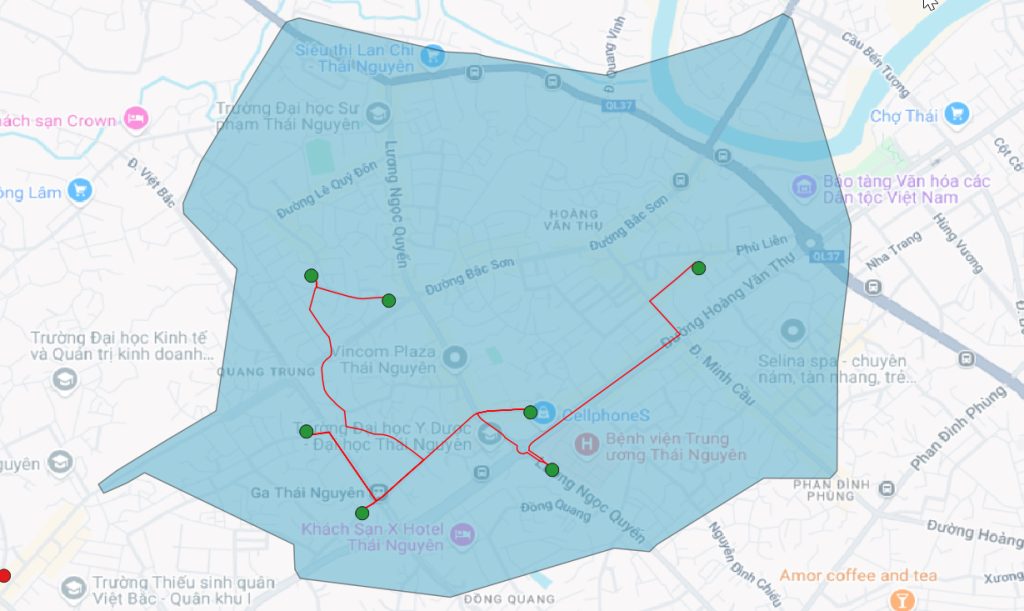
I created an isochrone, which shows as a polygon how far I can bicycle from home in 4 minutes, in every direction. I then found the fastest route to reach all the points contained in that polygon.

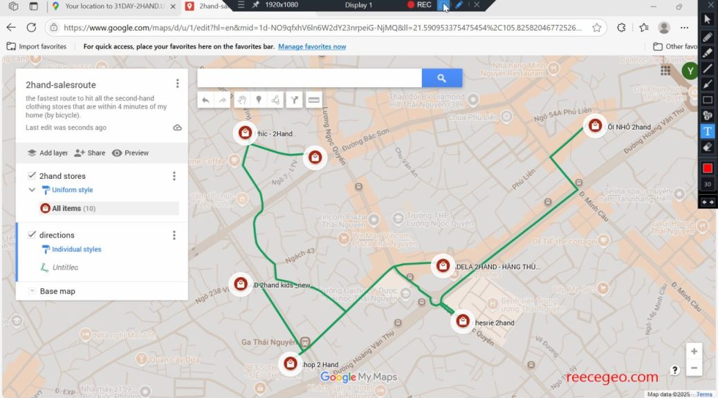
I exported the route as a KML file and imported that into Google maps. Now I can use the google maps app on my phone to view my route and navigate from point to point on my bicycle.
One note: Not all of the route seems to me like the fastest route. I’m sure the algorithm calculated what it was supposed to calculate, but somehow the result isn’t perfect. So, I’ll use the route as a guide, but depart from it slightly as needed. The fastest route analysis was still useful in showing the general order of stores that I should follow.