Browsed by
Category: Portfolio

A selection of posts showcasing my work

Sông Cầu Streams and Watershed

Sông Cầu Streams and Watershed

Description: Shows the catchment area and contributing streams which feed the Sông Cầu in Thái Nguyên province, Vietnam . The two cities, Thái Nguyên and Bắc Kạn, are shown. Hydrological data was obtained from Hydrosheds.org, and elevation data was obtained from SRTM. Map was created in QGIS by Yoshua Reece, 2024.

Tools: QGIS, SRTM downloader plugin, clip.

Data: Hydrosheds.org, SRTM elevation data.

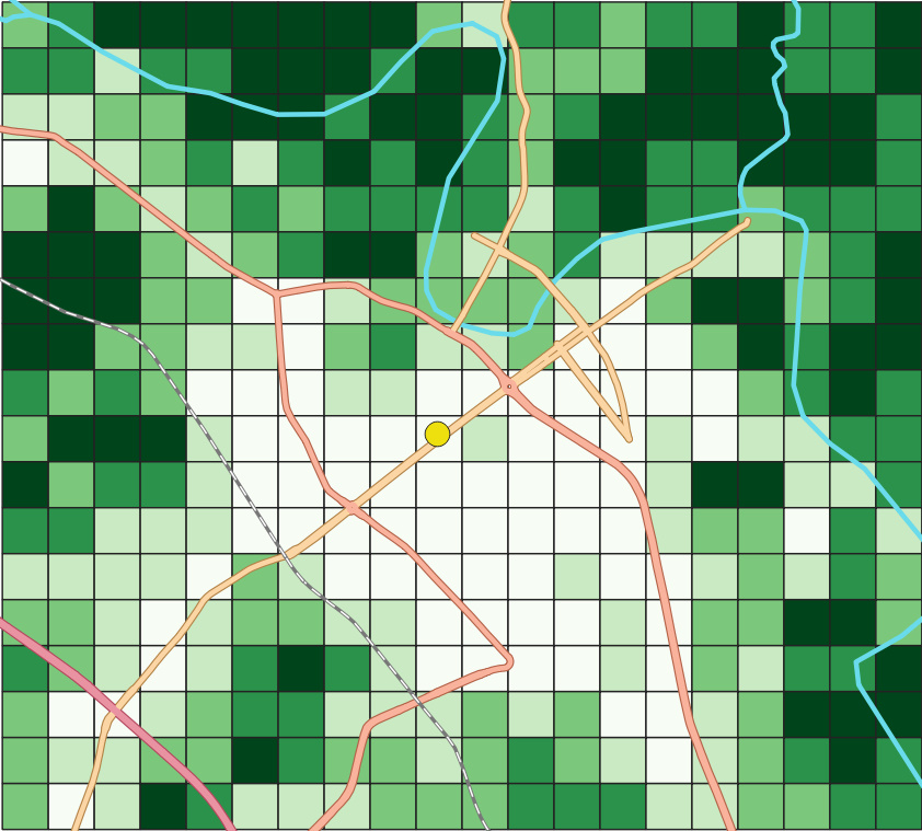
NVDI Analysis and Grid-based Visualization

NVDI Analysis and Grid-based Visualization

Description: This map shows the distribution of surface vegetation in Thai Nguyen, Vietnam. An NVDI analysis was done using Landsat 8 images. The resulting raster was then made into a vector grid by overlaying a grid and using the zonal statistics tool. Finally, the primary roads and motorways are OSM data.

Tools: QGIS

Data: Landsat 8, OSM