Yoshua F. Reece
  • Home
  • About me
  • Contact
Automating Map Creation with Print Layout Atlas

Automating Map Creation with Print Layout Atlas

September 23, 2024 yreece

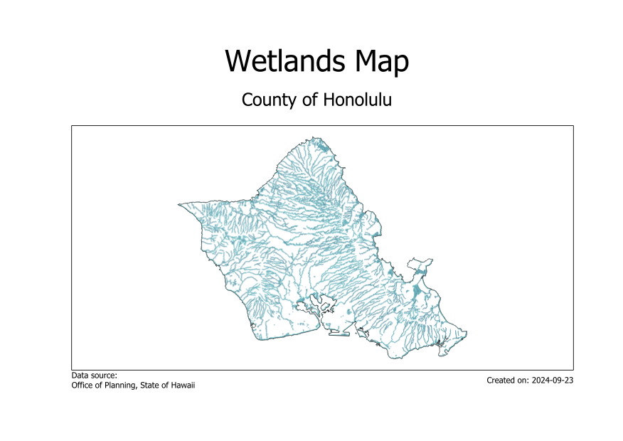
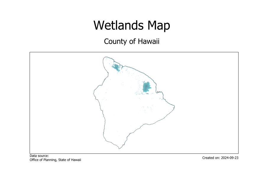
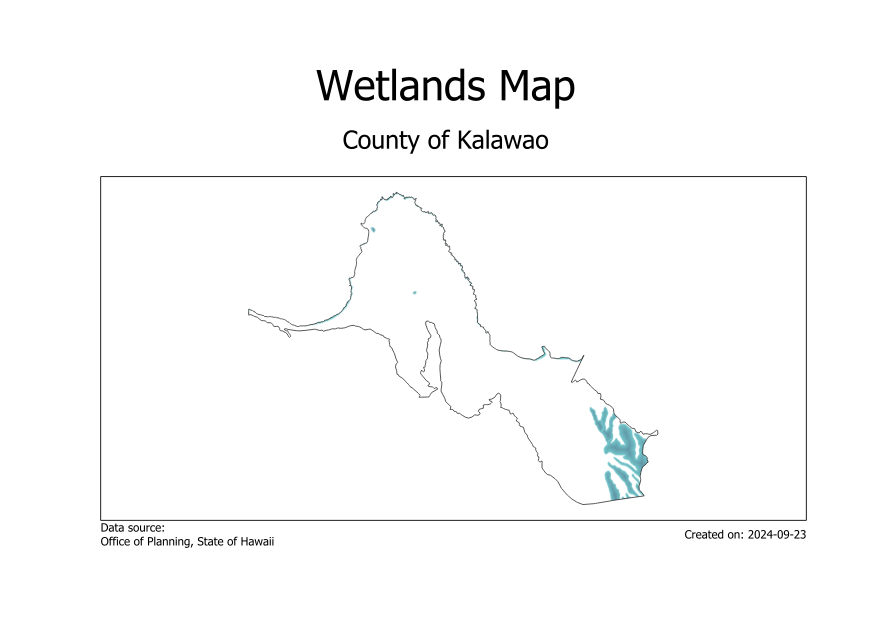
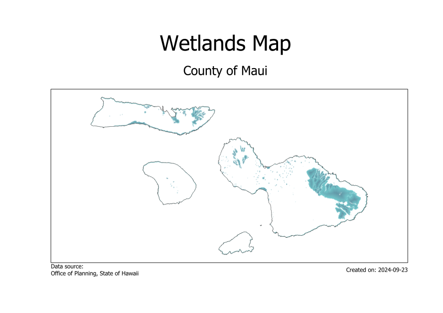
Following a tutorial, I created a wetlands map for each county in the state of Hawaii with the print layout Atlas.

Tutorial: Automating Map Creation with Print Layout Atlas (QGIS3) — QGIS Tutorials and Tips


QGIS
ecology

Post navigation

PREVIOUS
Batch processing
NEXT
Multi Criteria Overlay Analysis
Comments are closed.
My someday cactus farm
  • Portfolio
  • PostgreSQL
  • Python
  • QGIS

agriculture agroforestry climate CodeCademy data visualization digitizing ecology elevation georeferencing Hydrology interpolation LULC multi-criteria analysis Network analysis OSM processing model Public health public safety raster analysis spatial analysis spatial joins SQL Time Data urban vector geometry web mapping

© 2025 | Proudly Powered by WordPress | Theme: Nisarg